A tour of the Cape Breton
Highlands
Sandra
Barr and Rob Raeside have worked in the Cape Breton Highlands off and on for over 20
years. Below are some scenes they have captured in the course of their travels [click
on images for larger versions].
|
|
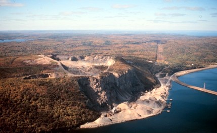
Cape Porcupine sits on the Nova Scotia mainland opposite Cape Breton Island on the Strait of Canso. The quarry originally opened to build the Canso Causeway now supplies rock for gravel carried up and down the east coast of North America, and even as far as the Mississippi River and the Netherlands. |
|
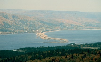
Looking northwest across St. Anns
Harbour to the Cape
Breton Highlands Plateau. The impressive boulder bar across the
harbour provides sheltered anchorage and is traversed by the road to
the
Englishtown ferry.
|
|
|
|
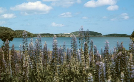
Middle Head separates North Bay Ingonish from South
Bay
Ingonish. The headland is underlain by granite and diorite, while
the
bays are underlain by softer sandstone and gypsum. In June the
lupins bloom
and frame the Keltic Lodge, perched on the narrowest part of the
Middle
Head.
|
|
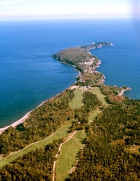
Middle Head, as viewed from the air, stretches out like a narrow
finger into
the Atlantic Ocean. The Ingonish golf course extends along part of
it.
|
 |
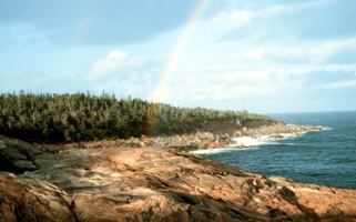 |
On the northeast coast of the Cape Breton Highlands, the extensive
Devonian
Black Brook Granite is exposed on the shoreline at Neils Harbour. |
|
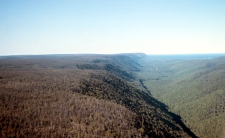
The North Aspy River flows along the
ruler-straight Aspy
Fault, which cuts into Cape Breton Island from the north.
Metamorphic
rocks of the North Mountain (left in photo) abut against softer
sandstone.
|
 |
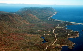 |
The Aspy Fault continues out to sea, along the east coast of Money
Point.
The lowlands to the east are underlain by sandstone and gypsum in
Aspy Bay. |
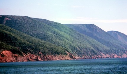
| The location where the fault comes to the shore is marked by the offset
of
the wave-cut platform. This platform was cut during the Sangoman
Interglacial, 120,000 years ago, implying that the 17 m offset on
the Aspy
Fault visible in this photo has happened in the Late Pleistocene or
Holocene. |
 |
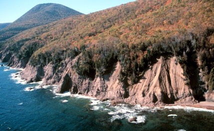 |
The Aspy Fault offsets the raised beach on the right (north side), 5
m above
modern sea level and the same beach level on the left (south side),
23 m
above modern sea level - almost at the level of the trees. |
|
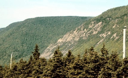
Along the Aspy Fault, the steep scarp
is the site of
several landslides, including this large one at Archies Brook, which
is
reported to have slid in the early 20th Century.
|
 |
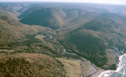 |
Polletts Cove River drains the Grenville-aged rocks of the Blair
River
Inlier in the northwestern Highlands. This must be one of Nova
Scotia's best-kept wilderness secrets! |
|
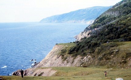
The hike into Polletts Cove involves a
three-hour trek
along the hillside, with a couple of 250 m climbs thrown in for good
measure. However the cow-path is well marked!
|
 |
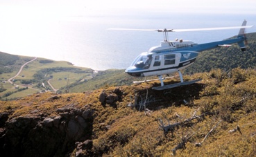 |
Overlooking Pleasant Bay. |
|
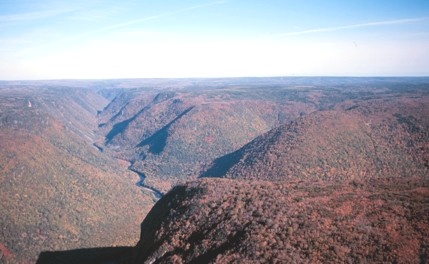
Cheticamp River is one of the largest
streams on the west
coast of the highlands, and flows through an impressive 300 m gorge.
|
 |
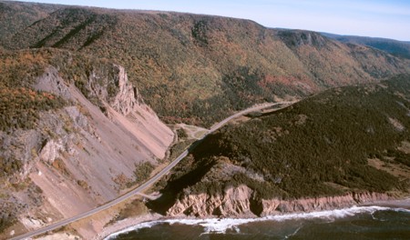 |
The Cabot Trail snakes through the Rigwash à Bernard, and on the
left (east
side) Cambrian rocks of the Cheticamp Pluton are thrust over
Devonian
rhyolite of the Fisset Brook Formation, along a prominent gypsum
seam. |
|
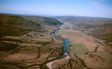
Looking northwest along the Margaree
Valley from Margaree
Forks.
|
 |
|
|
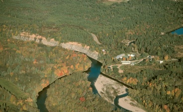
Upstream from the Margaree Salmon Hatchery, the Northeast Margaree
River has
incised the Windsor Group limestone and spreads out into a braided
stream. |
|
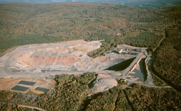
One of the small active coal mines in
the Inverness area -
this one is the Sainte-Rose quarry.
|
|