Geology Field Methods course
The Geology Field Methods course is held every spring immediately after exams. The first week is conducted locally, and for the second week we stay at Camp Geddie, on the shore of Northumberland Strait between New Glasgow and Antigonish. Below are some scenes from some of our past field schools. Click on the images for larger versions.
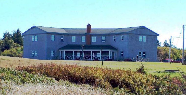
| Home for the week is Camp Geddie. | |
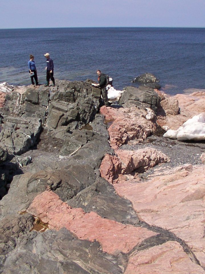
| At Georgeville shore a black mafic dyke intruded white granite, causing distinct reddening along the edges. Xenoliths of granite have spalled off into the dyke. Note the unconformable Quaternary deposits (white). | |
|
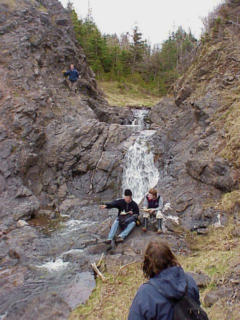
The McAras Brook exercise is the climax of the field school - students start with a blank sheet and produce a detailed geological map with cross-country correlations, V-ing in the valleys, and an orogen-scale unconformity. Ryan and Julie compare notes on the McAras Brook basalt as Dan sneaks round behind. |
|
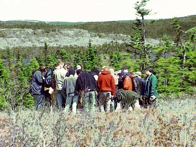
| One day is used to take a field trip east toward Canso, examining
deformation at successively deeper levels in the crust.
The huddle on the Whitehead Harbour barrens were eager to learn the secrets revealed of the S, M and Z microfolds. |
|
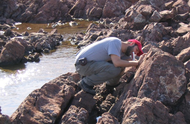
| At Arisaig, we examine Ordovician basalt and rhyolite units. Here Brian is measuring the structures of a rhyolite mass to determine if the layering is igneous or structural. |

